Battleship Mountain does not look like much from the highway. From the right angle, driving east out of Mesa toward Apache Junction, you start to see the silhouette — a long flat ridge rising above the Superstition Wilderness that really does look like the hull of a ship. That shape is not an accident of naming. It is the whole point of the hike, and getting there is a full day’s work.
Overview
This is a backcountry out-and-back into the Superstition Wilderness, starting at First Water Trailhead and ending on a summit ridge that requires real scrambling to reach. It is not a trail for beginners, for solo hikers without experience, or for anyone who needs to be back by noon. Plan for six to eight hours. The approach is long and flat, the final climb is steep and exposed, and the route is not well marked. It earns the views it gives you.
Four Miles of Desert, Then a Wall
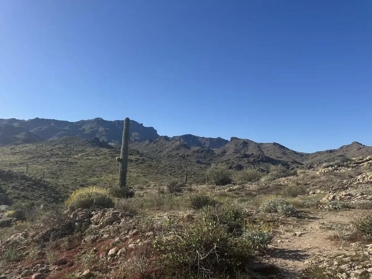
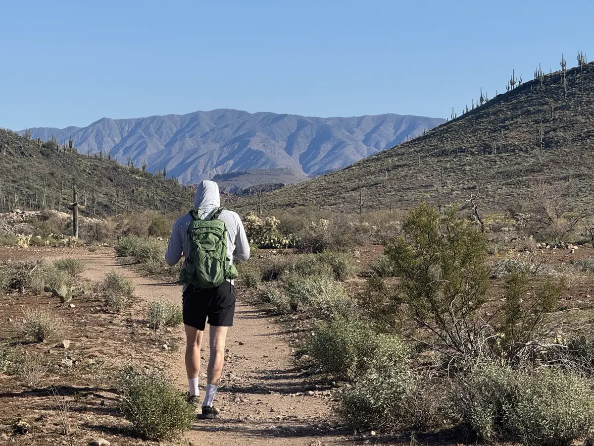
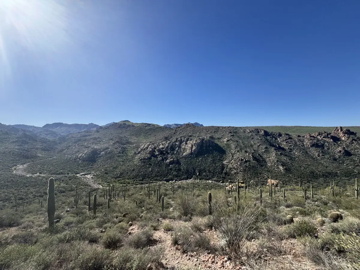
The first stretch of this hike is deceptively easy. The route follows a wash through the Superstition backcountry, moving through saguaro forest, past campsites, across sandy flats. The terrain is mild and the going is pleasant, especially at first light when the desert is still cool and the saguaros catch the early sun. Enjoy it. It does not last.
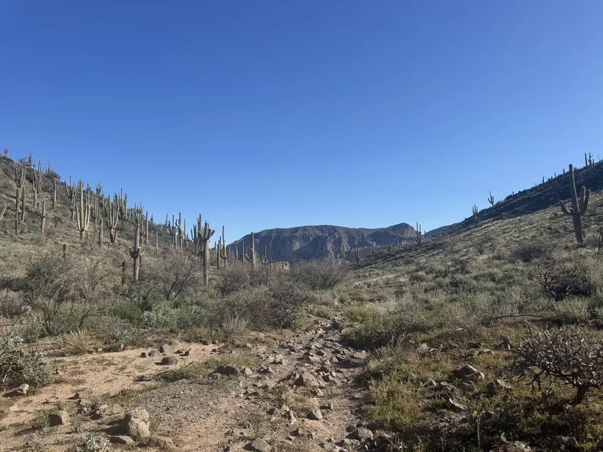
Navigation matters in the wash. There are multiple ways through and the cairns that mark the route are not always where you expect them. A downloaded map or GPS track is not optional here, it is how you avoid spending an hour backtracking through indistinguishable desert. The correct line becomes clearer as you approach the base of the mountain itself, where the wash tightens and the terrain begins to rise.
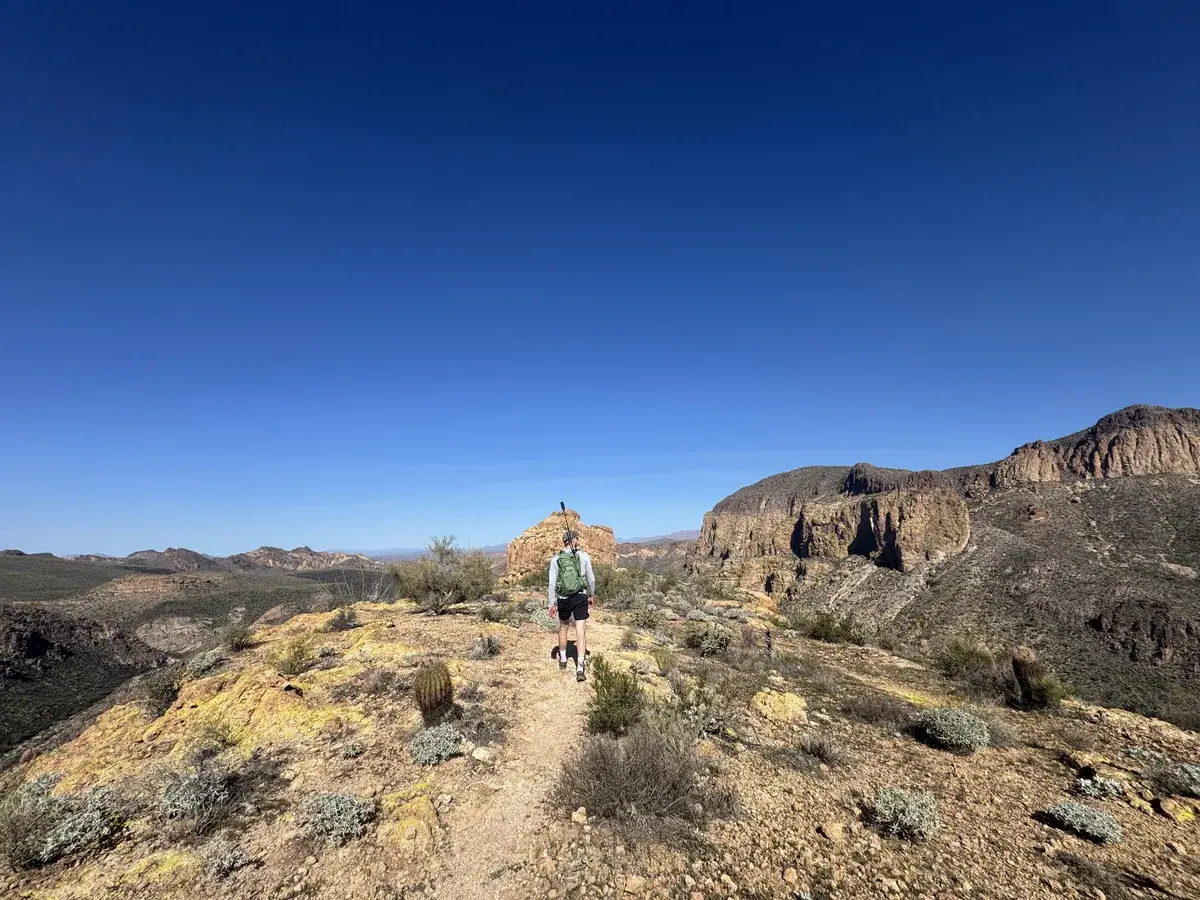
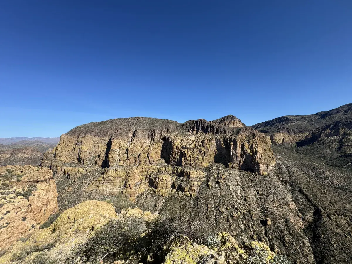
The scramble starts where the easy hiking ends. The final push to the summit ridge is steep, rocky, and requires using hands and feet on sections where the rock is slick or loose. There are significant drop-offs. The exposure is real. Many hikers turn around at the first major climb, and that is a reasonable decision. The view from the base of the ascent is already substantial and there is no shame in knowing your limit. Those who continue move slowly, stay on higher ground as a general principle, and pay attention to where they are placing their weight.
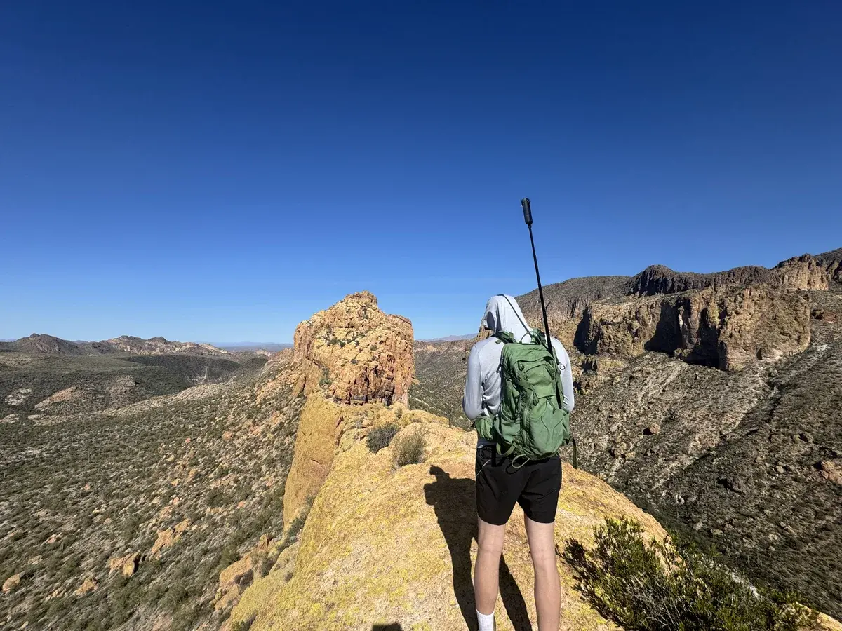
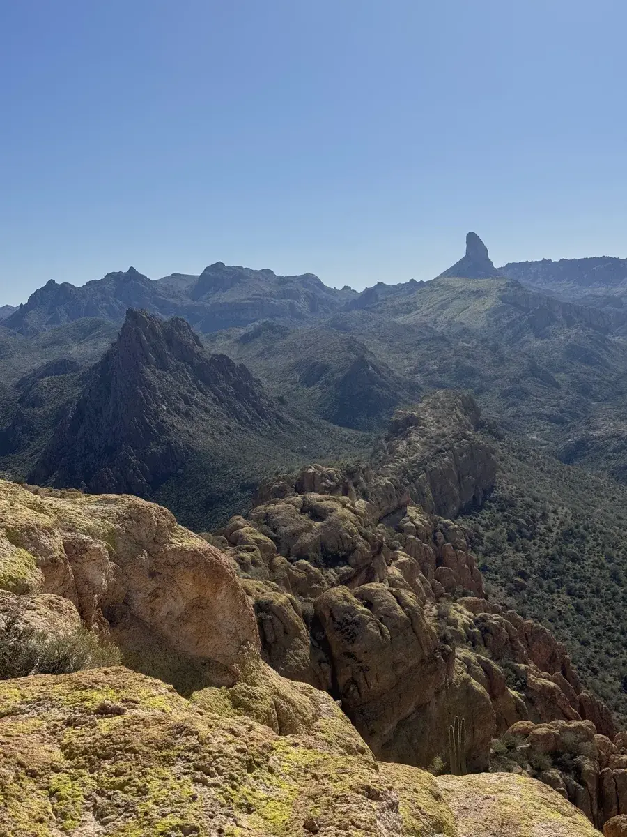
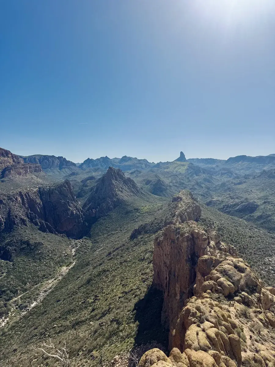
The summit ridge, once you get there, is wide and flat and gives you a full view in every direction: Canyon Lake to the south, the broader Superstition range stretching east, and the sprawl of the Phoenix metro visible to the west. It is the kind of place that makes the approach feel exactly as long as it was.
Timing & Crowds
November through March. That is the window, and the tighter end of it is better. A late November start in good weather is about as ideal as this hike gets. By late March the temperatures are already climbing and the exposed approach and summit become unpleasant by midday.
Start before sunrise. The practical reason is finishing before afternoon heat. The less practical but equally valid reason is that hiking out through the saguaro wash at first light, with the mountains going orange behind you, is one of the better ways to spend an early morning in Arizona.
Crowd levels are moderate by Phoenix standards and genuinely low by any other measure. This hike requires enough commitment that it filters out casual traffic. You will likely see other groups on the approach and occasionally on the scramble, but the summit is rarely busy. Weekday visits in December or January approach genuine solitude.
Getting There
First Water Trailhead sits at the end of First Water Road, off State Route 88 east of Apache Junction. The last few miles of the access road are unpaved, bumpy, and cross through washes. A high-clearance vehicle handles it comfortably. A standard sedan can make it in dry conditions but requires patience and a slow pace. After rain, check conditions before attempting the road.
Parking is free. The lot has limited capacity and fills on weekends during peak season. Arrive before sunrise to guarantee a spot and to get a head start on the day.
No permit required. No fees. No dogs.
What to Bring & Safety
Water first. Four liters is a minimum for a cool day. There is no water on trail and the combination of a long approach and a strenuous summit push will use more than you expect. A hydration pack is more practical than bottles on this one.
Navigation is not optional. Download the route to your phone before you leave, or carry a dedicated GPS device. Cell service is limited or nonexistent in the backcountry. A satellite communicator is worth bringing, this is the kind of trail where a twisted ankle several miles from the trailhead becomes a serious situation without one.
Footwear matters on the scramble. Trail runners work for the approach but something with a stiffer sole and real grip on the upper section will serve you better on the exposed rock. The rock surface is slick in places regardless of conditions.
Tell someone where you are going and when you expect to be back. This is backcountry hiking, not a city trail. The Superstitions have a long history of rescues. Take it seriously.