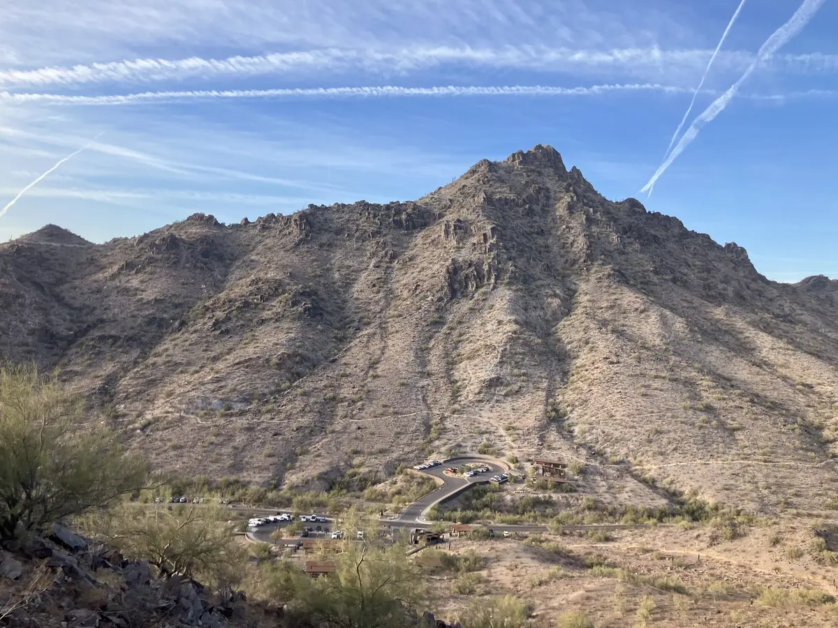
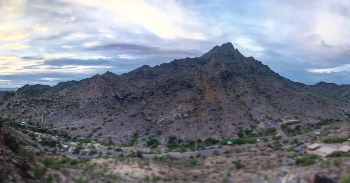
Every city has a mountain that locals use to measure themselves. In Phoenix, that mountain is Piestewa Peak.
You can see it from the freeway, from office windows, from hotel rooftops across the Valley. On any given morning, hundreds of people are on its slopes. On a busy winter weekend, the parking lot queue starts before the sun comes up.
I have been up Trail #300 more times than I can count.
Overview
Trail #300 is a 2.3-mile out-and-back from the main trailhead. You gain about 1,200 feet on the way up. It’s steep the whole way. The surface is loose rock with some embedded stone steps on the lower sections. There’s no shade. Budget two hours and bring more water than you think you need.
Steeper Than the Mileage Suggests
The mileage fools people. At 2.3 miles round trip, Piestewa looks like something you could knock out before work without much preparation. People try that all the time, usually once.
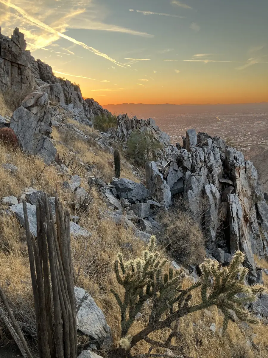
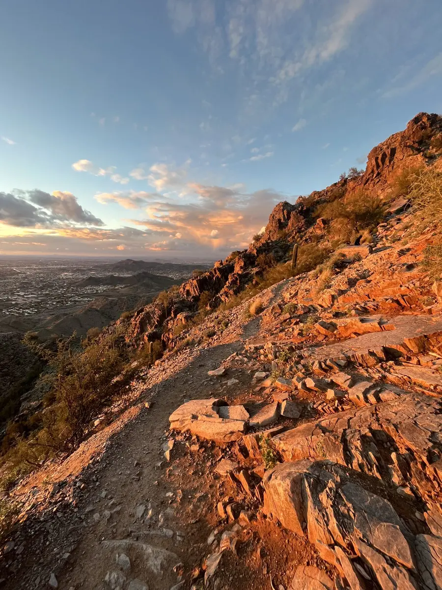
The trail starts climbing from the parking lot and doesn’t stop. On the steepest sections the grade hits around 25 percent. You’re not walking uphill so much as stepping up rock ledges and hauling yourself over loose schist with hands when it gets steep near the top. About halfway up there’s a broad rocky shelf where a lot of hikers stop, catch their breath, and decide that’s far enough. Completely reasonable call. If you’re going to the summit, look up from there. The ridge above you is what’s left.
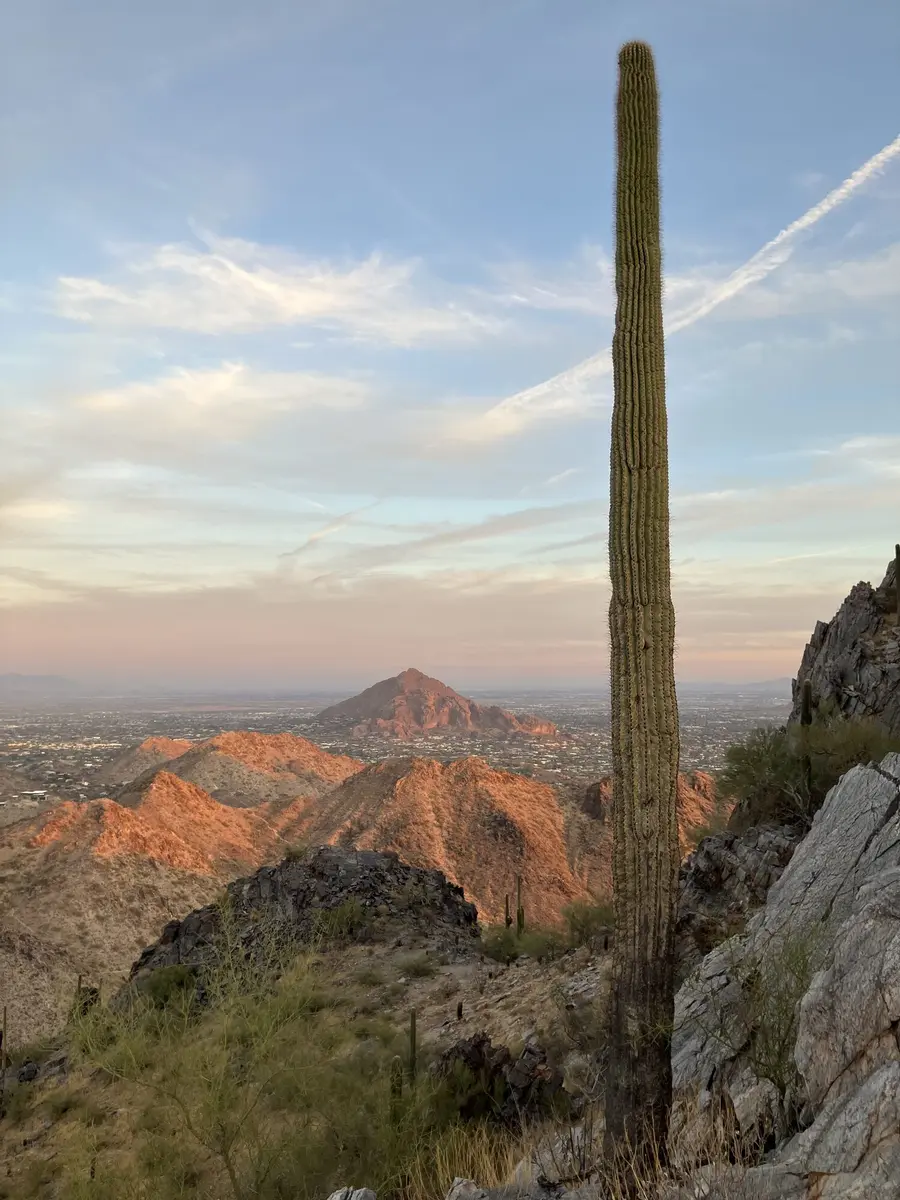
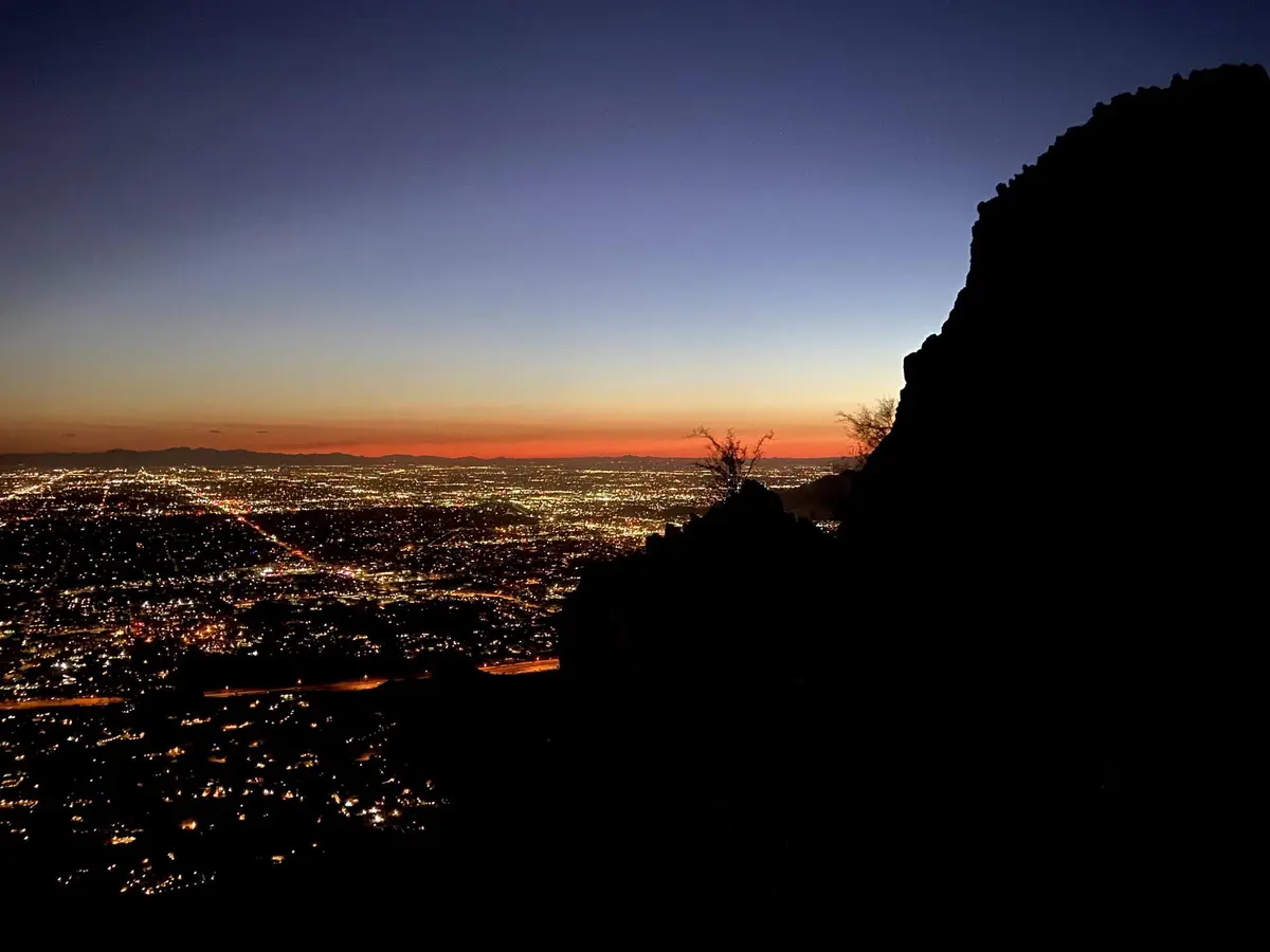
The view from the top is the payoff. Standing at around 2,600 feet you get a full 360-degree panorama of the Valley. Downtown Phoenix to the south, Scottsdale spread out to the east, the Superstition Mountains forty miles out, South Mountain anchoring the southern horizon. On a clear winter morning it’s one of the better views in the state.
Trailhead to the false saddle (0 to 0.6 miles): The trail climbs immediately. Within a couple hundred yards you’re stepping over rock stairs the city has reinforced with embedded stones. This section gets heavy foot traffic, especially on weekend mornings. The surface is worn smooth in some spots and loose in others. Pay more attention to your footing on the way down than on the way up.
The false saddle (around 0.6 miles): A wide rocky shelf with solid views to the east. Lots of people stop here and it’s worth a few minutes even if you’re continuing. If you’re new to the trail and feeling the climb, this is a good turnaround point.
The final push (0.6 to 1.15 miles): The trail gets narrow and exposed. There are sections where a fall would be serious. It requires hands in a few spots. This is also where heat and dehydration catch up with people in summer, partly because you can see the summit and it’s hard to turn around when you feel close.
The summit: Two peaks. Most people stop at the southern one. The northern peak is slightly higher and takes a bit more scrambling to reach. On a busy weekend morning you’ll have plenty of company. On a weekday at first light you might have it to yourself.
Timing & Crowds
Piestewa is one of the most-hiked urban peaks in the country. On a Saturday morning in February the parking lot fills before 7am and the trail is packed from 8 to 10.
If crowds bother you, go on a weekday at sunrise. If that isn’t realistic, weekends before 7am or after 3pm are your best options. Midday on weekends is the worst combination of heat, crowds, and parking.
The window I keep coming back to: Tuesday or Wednesday, on the trail by 6:30am in winter. Back at the car before 8.
Getting There
The trailhead is at the end of Squaw Peak Drive, east off North 22nd Street in Phoenix Mountains Preserve. Free parking, opens at sunrise. On weekends from October through April the lot fills within the first hour.
If the main lot is full there’s overflow parking further down Squaw Peak Drive, about 15 minutes of walking each way. No shuttle service.
No parking fees. No entrance fees. No permits.
What to Bring & Safety
For a cool morning: 1 liter of water per person minimum, shoes with grip, sun protection. What makes it better is a second liter (you’ll drink more than you expect), trekking poles for the descent, and an early enough start to catch the city waking up below you from the summit. What you don’t need: a guidebook, technical gear, or a permit.
People get into serious trouble on this trail every summer. It’s almost completely exposed, and the dark volcanic rock holds and radiates heat aggressively. By 9am in July the surface temperature on the rock can top 140 degrees Fahrenheit. There’s no water on the trail and cell service drops out on the upper section.
From May through September, start before sunrise or reconsider the plan entirely. Bring at least 1.5 liters of water per person. If you feel dizzy, nauseous, or stop sweating, turn around right then. No view is worth a medical emergency.
The descent deserves more respect than it usually gets. Most people are focused on the climb and aren’t ready for how much the downhill asks of tired legs on loose rock. Slow down on the way down.
For most people this is worth it. Go in with realistic expectations about how hard it’s going to be, start early enough to have the trail mostly to yourself, and bring enough water. The summit view delivers.
The mountain has been here for close to two billion years. The city spread out below it over the last century. That context hits differently when you’re standing on top of it.